Planning for Québec

The IAT organization responsible for mainting the trail in Québec has put out a detailed document on this portion of the trail. This document is not sufficient to use by itself, but has a lot of important information on the trail.
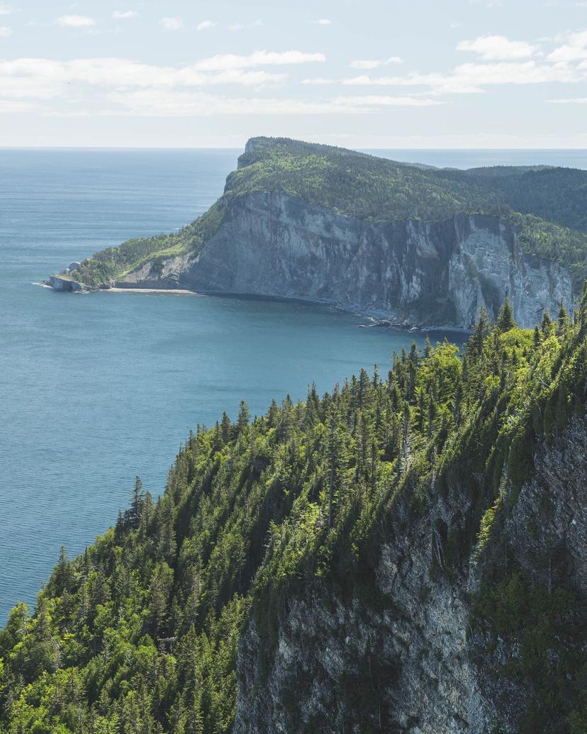
From a thru-hiker's perspective, it might make the most sense to think about the IAT in Québec as a hike divided into three different sections: the Southern corridor parallel to Route 132, the interior including Gaspésie National Park, and the Northern coast. In the South, the trail passes through small towns in the countryside and the relatively larger towns of Causapscal and Amqui. The terrain is composed of smaller hills, and the trail is mostly footpath in the forest, interspersed with country roads. In the interior of the peninsula, the Appalachian Mountains require more climbing, and the Matane Wildlife Reserve and Gaspésie National Park offer beautiful scenery. On the Northern Coast, the trail goes through each small settlement on the coast, and then either moves into the hills just off the coast, or is instead right on the beach.
Where to Stay
The IAT offers three types of camping options on the trail: platforms, shelters, and refuges. A refuge is a cabin. There are 11 of them on the trail. The largest section of trail with no IAT camping amenities is the 90 kilometers between Carbourons Refuge at the Northern end of Gaspésie National Park, and Grand-Sault Camping South of Rivière-Madeleine.